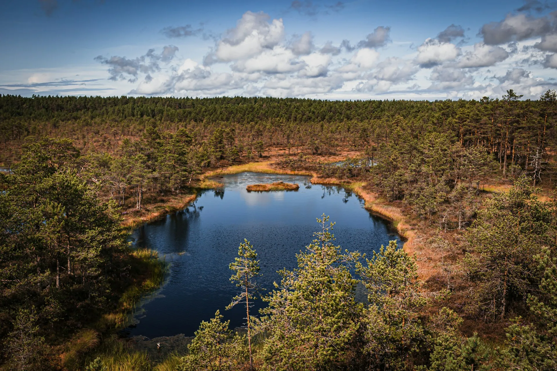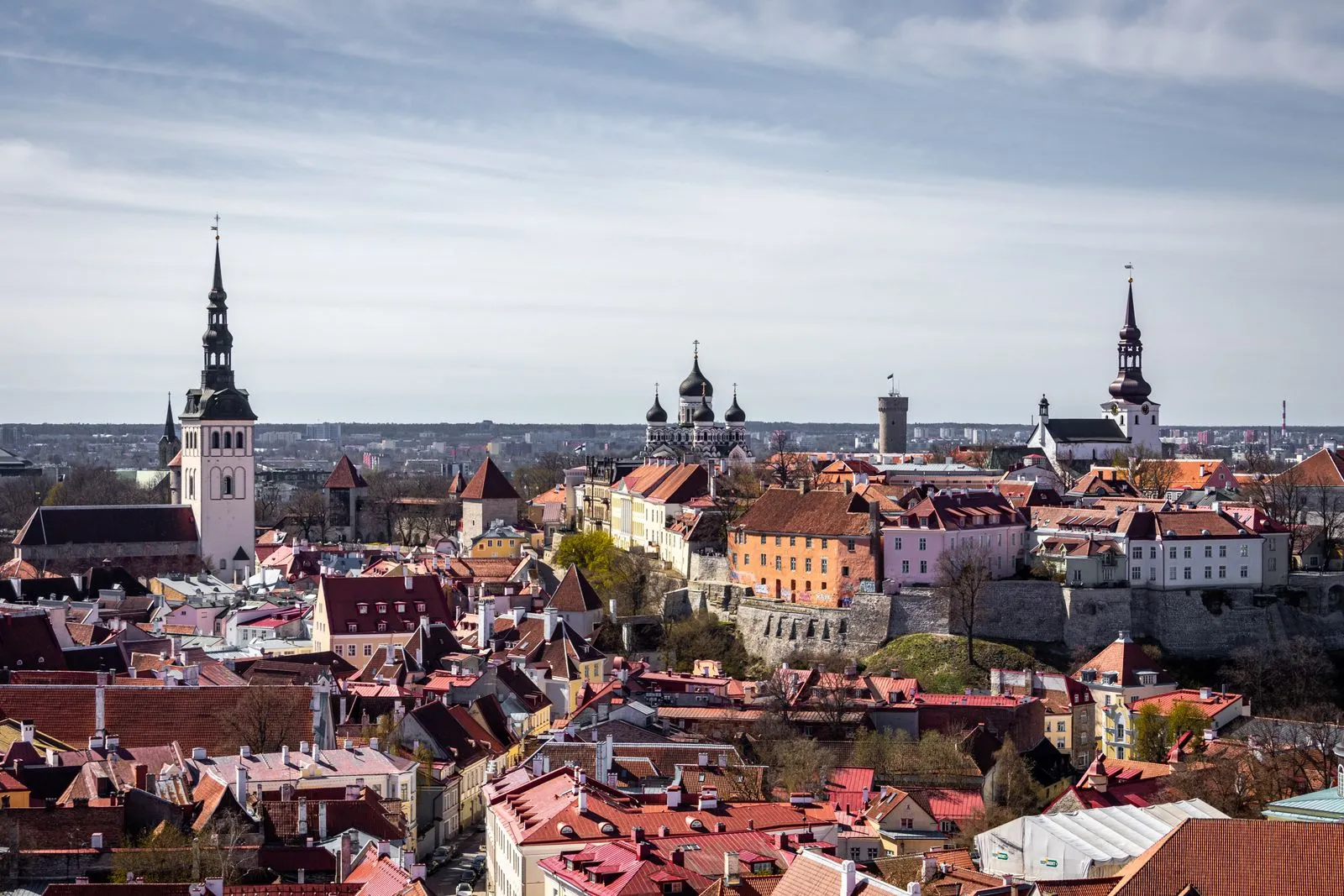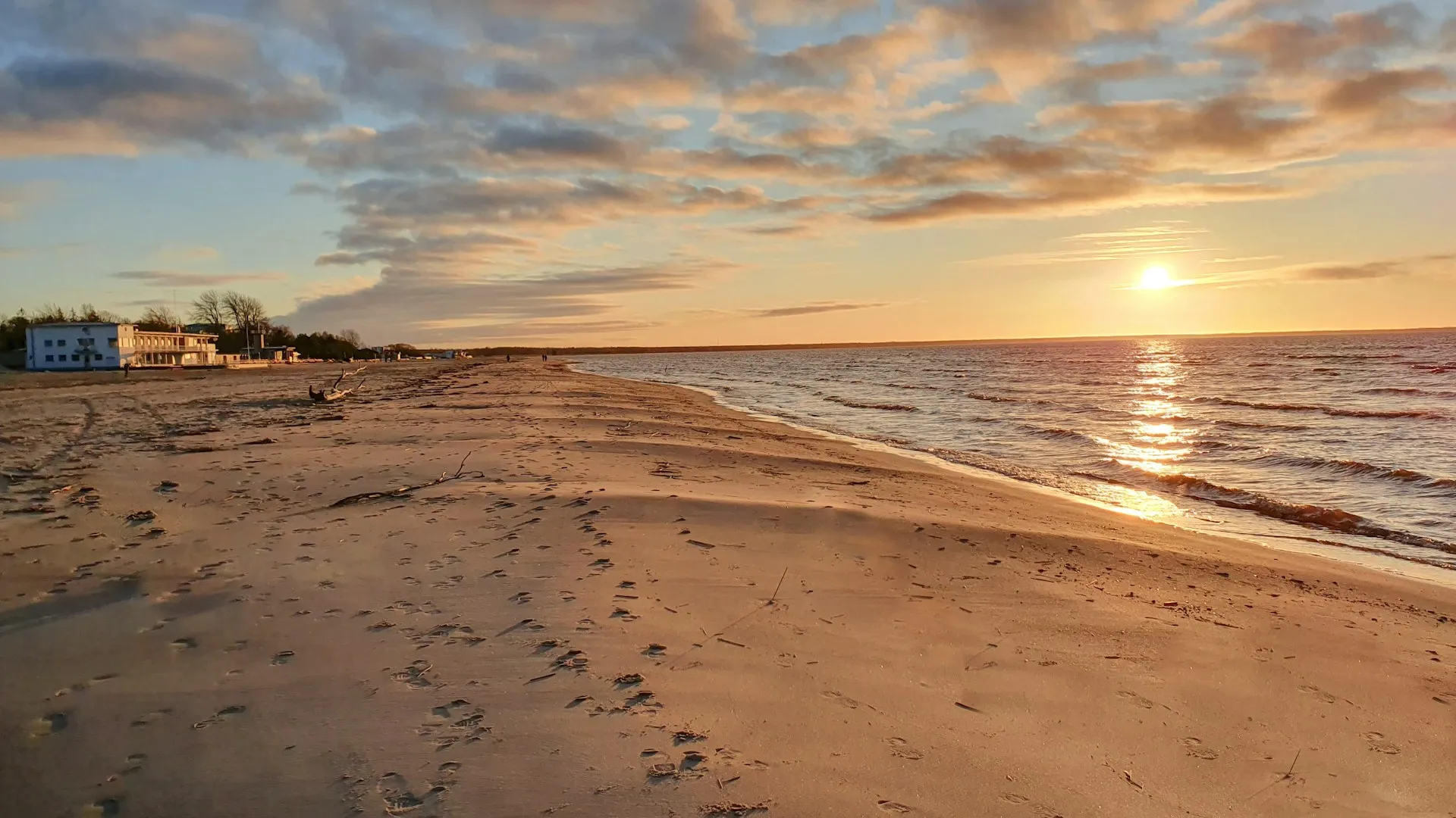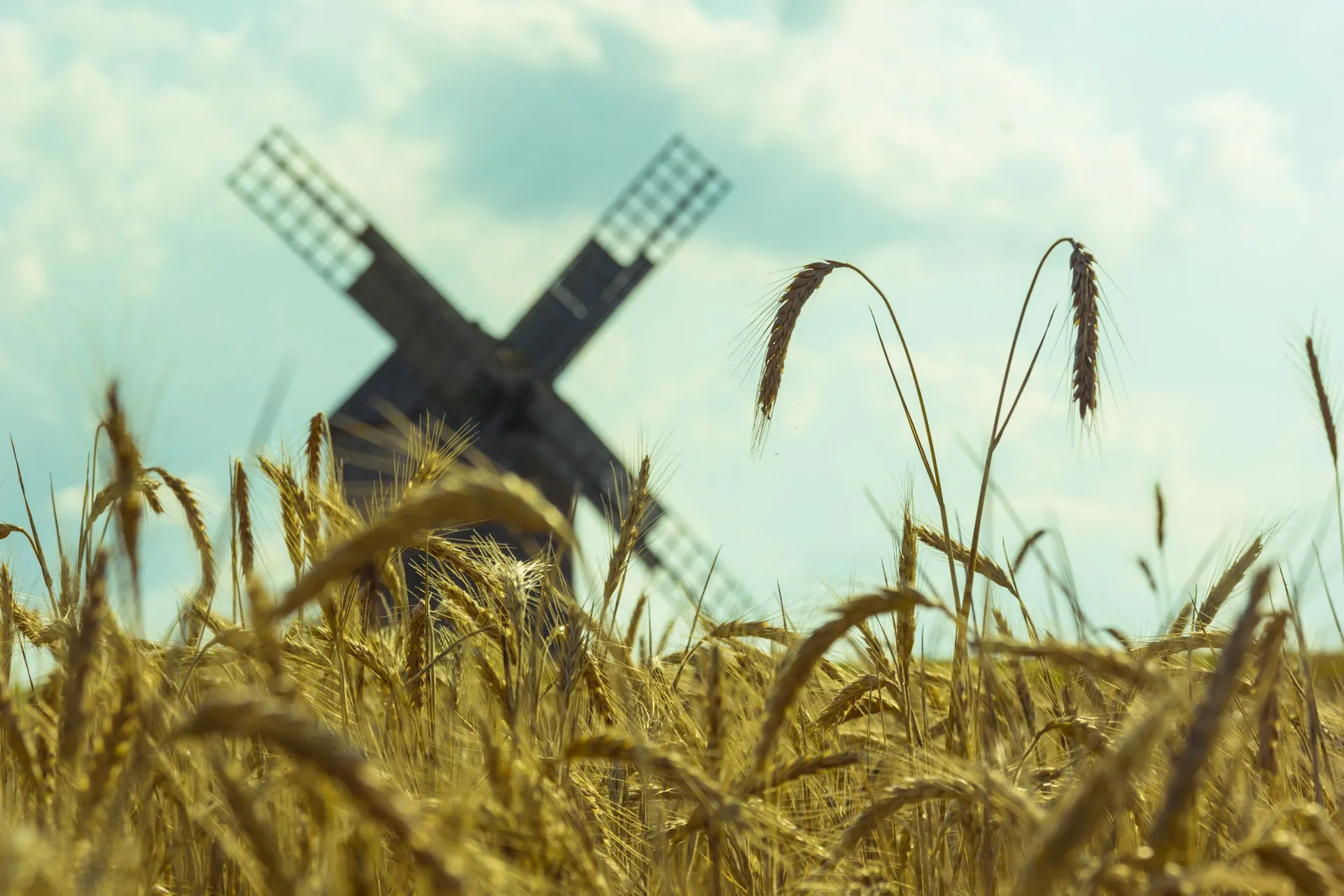
Saaremaa is Estonia’s largest island, sitting in the Baltic Sea off the country’s west coast. It is a low, flat place of limestone, juniper, and pasture, ringed by a coast that hardly looks like a coast at all. There are no mountains here, no fjords. What the island has instead is an odd, unforced character: a medieval castle rising out of a spa town, a crater where a meteorite fell seven and a half thousand years ago, and windmills standing on open hills where they have stood since the nineteenth century.
People used to call it the island of windmills, and the name still fits in pockets. The terrain is gentle enough that a bicycle covers real ground, and slow enough that a week passes without anyone noticing.
Three nights is the honest amount of time. Saaremaa is not a stop you rush through to tick a box; the mainland town of Kuressaare eats a full day on its own, and the craters, windmills, and cliffs each sit on a different road leading out of it. You need a car to reach them comfortably. Once you have one, the island arranges itself into easy loops out of town.
A car on the ferry is the only way to see all of it. Budget travelers get by on a mid-range daily figure, accommodation included, and most entry fees land in the single digits. The island’s value is in how much of it is free: the cliffs, the crater rim, the windmill hills, and the quiet beaches all ask nothing of you. It works as a standalone trip or as the western detour on the Grand Baltic Loop.
Getting there
Ferries from Virtsu to Kuressaare and from Triigi run year-round. A car on the ferry is the only way to see all of the island.
Budget
A mid-range daily figure with accommodation and meals included. Most entry fees land in the single digits. The cliffs, crater, and windmills are free.
Best time
June and September for calm roads and open beaches. July is warmest but busiest around Kuressaare.
Duration
Three nights is the honest minimum. Kuressaare eats a full day, and the craters, windmills, and cliffs each sit on a different road out of town.
The Bishop’s Castle
The Bishop’s Castle is one of the best-preserved medieval fortifications in the Baltics. It was built in the thirteenth and fourteenth centuries as a seat for the Livonian bishops, and its thick stone walls, round towers, and inner courtyard survived the wars that flattened so many of its neighbors. The building now houses the Saaremaa Museum, which tells the island’s story from its earliest settlers onward.
The castle sits behind a defensive moat, ringed by a park that runs down to the sea. Kuressaare itself has a compressed, spa-town feel: a low old town, a long wooden promenade, and a scattering of hot-spring hotels that give the place a gentler rhythm than a normal county town. The castle and the promenade together make a relaxed full day.
Entry to the museum runs in the single-digit range, and the grounds and park are free. Allow two hours inside the walls and another hour wandering the park and waterfront.
The Kaali meteorite craters
A meteorite struck this spot roughly seven and a half thousand years ago, carving the main crater to about one hundred and ten meters across and scattering eight smaller craters around it. It is a comparatively recent impact, geologically speaking, which is why the main bowl holds a small lake and the field still reads so clearly in the surrounding forest.
The site is one of the best-preserved crater fields in Europe, and it carries real weight in local folklore. A small museum nearby explains the impact and shows what was found in the soil, including traces of a Bronze Age stone wall that researchers believe was used for ceremonies. The walk around the crater rim is short, gentle, and free, and it remains one of the easiest meteorite sites on the continent to reach.
The craters sit about twenty kilometers east of Kuressaare. Budget an hour for the rim walk and the museum entry fee if you go inside.
The windmills at Angla
A handful of wooden windmills stand on a low hill about twenty-five kilometers north of Kuressaare. There are five of them, four post mills and one larger smock mill, built in the late eighteen hundreds. They are the last complete group of windmills left on the island, and their sails still turn on windy days.
You can climb inside. The three-story smock mill in particular keeps its original wooden gears, and the Heritage Centre at the base of the hill explains how the island milled its grain before the roads reached it. The hilltop itself is open and free, and the view over the surrounding farmland is one of the most photographed stretches on Saaremaa.
The windmill hill is free to walk. The centre has a small entry fee. Allow an hour here, and longer if you stop for coffee at the café below.
Panga Cliff
On the island’s north shore, the Baltic Klint, a limestone escarpment that runs across northern Estonia, reaches the sea. At Panga it stands about twenty-one meters above the water, the highest sea cliff on Saaremaa, a pale vertical edge where the rock meets the Baltic directly.
The clifftop is flat and grassy, which makes for an easy picnic spot with a sudden drop at your feet. On clear days the view runs out over the Gulf of Riga and, far north, toward the mainland. It is a quick stop, not a destination, and it pairs well with the windmills on a single morning loop.
Free to visit, and unmissable on any island circuit. Allow thirty minutes, longer if you walk the short trail along the edge.
Vilsandi National Park
Vilsandi and the small islands around its western edge form one of Estonia’s oldest national parks, set up to protect one of the richest seabird colonies on the Baltic coast. The main island is low, windswept, and barely populated, a landscape of shingle beaches, scattered stones, and horizons that are mostly sea.
Boat trips leave from the nearby coast in season, and kayakers paddle the channels among the outer islets. This is the emptiest stretch of Saaremaa, worth the trip if you want a day of quiet coastline and birdwatching rather than sights.
Access depends on guest boats and weather, so check the sailing schedule before you plan around it. Allow a half day to a full day depending on how far you want to go.
The Sõrve peninsula
Sõrve is the island’s long southern finger, tapering into the Baltic toward the Latvian coast. It is a thin, flat strip of farmland and beach, ending at a lighthouse that has marked the channel for generations. The road down to it feels like a road to the very end of the island, which it nearly is.
The beaches here are open and unguarded, and except in the height of July you are likely to have stretches of them to yourself. The peninsula also carries the quiet traces of its wartime past, visible in the abandoned military structures that line the coast. It is the stop most visitors skip, and the one with the strongest sense of having actually reached the Baltic.
The drive from Kuressaare takes about an hour each way. Budget a half day so you can stop at the beaches and walk the point.
Practical info
6 readingsGetting there
The road runs from the mainland over a causeway and bridge via the island of Muhu, so you can drive on without a ferry if you come from the north. From the mainland port of Virtsu, a short ferry crosses to Kuivastu on Muhu, then you cross the bridge onto Saaremaa. From Tallinn the drive and ferry together take several hours, so count on a half day if you are coming from the capital. Coming up the coast, Pärnu, Estonia’s summer capital, makes a natural overnight before the crossing.
Getting around
You need a car. Kuressaare itself is walkable, but the craters, windmills, cliff, and peninsula each sit on a different road out of town. A rental car turns the island into easy day loops, and the roads are quiet and well marked.
Budget
A mid-range daily figure covers accommodation and meals, with accommodation the biggest line item in season. Most entry fees land in the single digits, and the crater, cliff, and windmill hill are free. Ferries and fuel add a modest amount on top.
When to visit
Late May through June brings long days and manageable crowds, with the island at its greenest. September is quieter and cheaper, with warm enough weather for walking. July and August are the busiest and the most fully booked, especially the spa hotels in Kuressaare.
Duration
A long day from Tallinn covers the castle and a quick out-of-town stop. Three nights lets you take the craters, windmills, and cliff at a relaxed pace, with a spare day for Vilsandi or the Sõrve peninsula or simply sitting on a quiet beach.
What to eat
Look for juniper-smoked fish, soft island cheeses, and dark rye bread, plus local juniper-flavored drinks. Kuressaare has the widest choice of restaurants, and the smaller coastal villages turn out good fresh fish in the summer months. Try the smoked eel if you can find it.
This post contains affiliate links. Booking through them earns a small commission at no extra cost to you, and helps keep the site running. Thank you if you do.
Frequently asked questions
How do I get to Saaremaa?
Ferries from Virtsu to Kuivastu on Muhu run year-round; from there you cross the causeway onto Saaremaa. A car on the ferry is the only practical way to see all of the island, since the craters, windmills, cliff, and peninsula each sit on a different road out of town.
How many days do I need in Saaremaa?
Three nights is the honest minimum. Kuressaare takes a full day, and the Kaali craters, Angla windmills, and Panga Cliff each sit on a different road out of town. A long day from Tallinn covers the castle and a quick out-of-town stop.
What is Saaremaa famous for?
Saaremaa is Estonia's largest island, with the well-preserved Bishop's Castle in Kuressaare, the Kaali meteorite craters (a roughly 7,500-year-old impact site), the Angla windmills on a low hill, and Panga Cliff, the highest sea cliff on the island.